
Oceania
Palau — map and facts
Here you find a map of Palau, capital Melekeok, currency US Dollar and quick links to more facts about the country in Oceania.
About the country
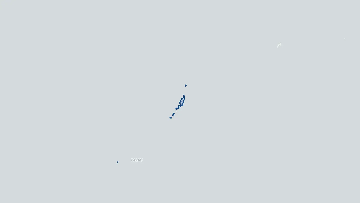
Palau on the map
About Palau
Palau is an island nation in the western Pacific Ocean, part of the Micronesian region, lying approximately 800 kilometres east of the Philippines and 1,000 kilometres north of western New Guinea. The capital is Ngerulmud, located on the island of Babeldaob, though the largest city and commercial centre is Koror. The population is approximately 18,000 people, making Palau one of the smallest nations in the world by population. Palau entered into a Compact of Free Association with the United States in 1994, gaining full independence while maintaining close defence and economic ties with the United States. The country consists of approximately 340 islands, the majority uninhabited. The economy depends heavily on tourism, fisheries, and United States financial assistance. Palau is internationally renowned for its extraordinary marine environment, including the famous Jellyfish Lake on Eil Malk island, and has designated large portions of its surrounding waters as marine protected areas.
Geography and Landscape
Palau's main island group consists of the Palau archipelago, dominated by Babeldaob, the largest island in Micronesia after Guam, and the Rock Islands, a collection of approximately 250 limestone and coral islets rising dramatically from the turquoise lagoon. The Rock Islands are a UNESCO World Heritage Site, celebrated for their distinctive mushroom-shaped formations, forested tops, and numerous marine lakes. Babeldaob features volcanic and hilly terrain with freshwater streams and extensive mangrove coastlines. The archipelago is surrounded by one of the most biodiverse coral reef systems in the world, part of the broader Coral Triangle. The climate is tropical, hot and humid year-round, with heavy and relatively consistent rainfall. Palau lies outside the main typhoon belt but does experience occasional tropical storms. Coral reefs, drop-offs, and warm, clear waters attract divers from around the world.
History
Palau has been inhabited for approximately 4,000 years, originally settled by migrants from Southeast Asia. The indigenous Palauan culture developed a sophisticated system of governance, society, and artistry, expressed through traditional meeting houses known as bai. The first recorded European contact was made by Spanish explorers in the sixteenth century, and Palau was formally claimed by Spain in 1886. Following Spain's defeat in the Spanish-American War of 1898, Spain sold the Caroline Islands, including Palau, to Germany. Japan occupied Palau during World War One and administered it under a League of Nations mandate, developing infrastructure and bringing significant Japanese settlement. During World War Two, Palau was the site of fierce fighting, most notably the Battle of Peleliu in 1944, one of the bloodiest engagements of the Pacific campaign. After the war, Palau became part of the United States Trust Territory of the Pacific Islands. Independence was achieved in 1994 through the Compact of Free Association.
Geo Quiz
Think you know your capitals, flags, and continents? Take the quiz!
Neighbouring countries
Continue to nearby countries
There are no registered neighbouring countries for Palau in the current database.
More countries in the same part of the world
Oceania index
Open the continent hub for Oceania to see the full country list, capitals and frequently asked questions on one page.
Interactive map
Zoomable map of Palau
Country index
All countries by continent
Jump directly to the right section or keep scrolling.
Africa
58 countries- Algeria
- Angola
- Benin
- Botswana
- Burkina Faso
- Burundi
- Central African Republic
- Djibouti
- Democratic Republic of the Congo
- Egypt
- Equatorial Guinea
- Ivory Coast
- Eritrea
- Ethiopia
- Gabon
- Gambia
- Ghana
- Guinea
- Guinea-Bissau
- Cameroon
- Cape Verde
- Kenya
- Comoros
- Republic of the Congo
- Lesotho
- Liberia
- Libya
- Madagascar
- Malawi
- Mali
- Morocco
- Mauritania
- Mauritius
- Mayotte
- Mozambique
- Namibia
- Niger
- Nigeria
- Reunion
- Rwanda
- Saint Helena
- Sao Tome and Principe
- Senegal
- Seychelles
- Sierra Leone
- Somalia
- Sudan
- Swaziland
- South Africa
- South Sudan
- Tanzania
- Chad
- Togo
- Tunisia
- Uganda
- Western Sahara
- Zambia
- Zimbabwe
Asia
52 countries- Afghanistan
- Armenia
- Azerbaijan
- Bahrain
- Bangladesh
- Bhutan
- British Indian Ocean Territory
- Brunei
- Myanmar
- Philippines
- United Arab Emirates
- Georgia
- Hong Kong
- India
- Indonesia
- Iraq
- Iran
- Israel
- Japan
- Yemen
- Jordan
- Christmas Island
- Cambodia
- Kazakhstan
- China
- Kyrgyzstan
- Cocos Islands
- Kuwait
- Laos
- Lebanon
- Macau
- Malaysia
- Maldives
- Mongolia
- Nepal
- North Korea
- Oman
- Pakistan
- Palestinian Territory
- Qatar
- Saudi Arabia
- Singapore
- Sri Lanka
- South Korea
- Syria
- Tajikistan
- Taiwan
- Thailand
- Turkey
- Turkmenistan
- Uzbekistan
- Vietnam
Europe
53 countries- Albania
- Andorra
- Belgium
- Bosnia and Herzegovina
- Bulgaria
- Cyprus
- Denmark
- Estonia
- Finland
- France
- Faroe Islands
- Gibraltar
- Greece
- Guernsey
- Ireland
- Iceland
- Isle of Man
- Italy
- Jersey
- Kosovo
- Croatia
- Latvia
- Liechtenstein
- Lithuania
- Luxembourg
- Macedonia
- Malta
- Moldova
- Monaco
- Montenegro
- Netherlands
- Norway
- Poland
- Portugal
- Romania
- Russia
- San Marino
- Switzerland
- Serbia
- Slovakia
- Slovenia
- Spain
- United Kingdom
- Svalbard and Jan Mayen
- Sweden
- Czech Republic
- Germany
- Ukraine
- Hungary
- Vatican
- Belarus
- Aland Islands
- Austria
North America
42 countries- U.S. Virgin Islands
- Anguilla
- Antigua and Barbuda
- Aruba
- Bahamas
- Barbados
- Belize
- Bermuda
- Bonaire, Saint Eustatius and Saba
- British Virgin Islands
- Cayman Islands
- Costa Rica
- Curacao
- Dominica
- Dominican Republic
- El Salvador
- Grenada
- Greenland
- Guadeloupe
- Guatemala
- Haiti
- Honduras
- Jamaica
- Canada
- Cuba
- Martinique
- Mexico
- Montserrat
- Netherlands Antilles
- Nicaragua
- Panama
- Puerto Rico
- Saint Barthelemy
- Saint Kitts and Nevis
- Saint Lucia
- Saint Martin
- Saint Vincent and the Grenadines
- Saint Pierre and Miquelon
- Sint Maarten
- Trinidad and Tobago
- Turks and Caicos Islands
- United States
South America
14 countriesOceania
27 countries- American Samoa
- Australia
- Cook Islands
- Fiji
- French Polynesia
- United States Minor Outlying Islands
- Guam
- Kiribati
- Marshall Islands
- Micronesia
- Nauru
- Niue
- Northern Mariana Islands
- Norfolk Island
- New Caledonia
- New Zealand
- Palau
- Papua New Guinea
- Pitcairn
- Solomon Islands
- Samoa
- Tokelau
- Tonga
- Tuvalu
- Vanuatu
- Wallis and Futuna
- East Timor