
Oceania
Nauru — map and facts
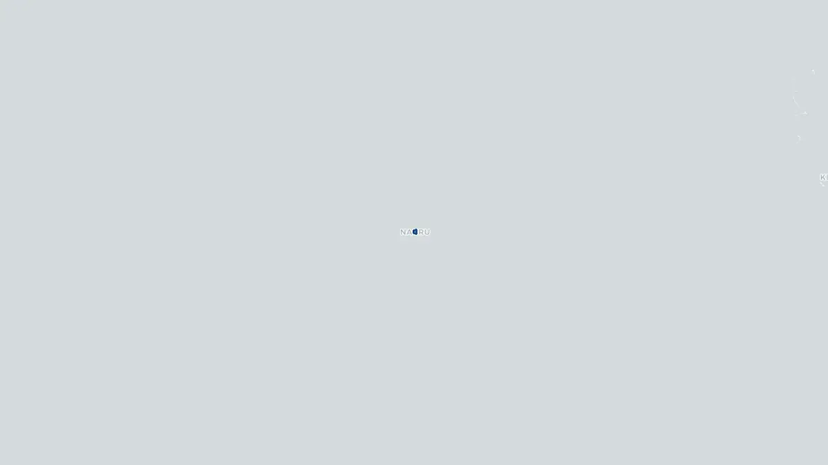
Here you find a map of Nauru, capital Yaren, currency Australien dollar and quick links to more facts about the country in Oceania.
About the country
Nauru on the map
#### About Nauru Nauru is a tiny island nation in the central Pacific Ocean and holds the distinction of being the world's smallest republic and the third-smallest nation by area. With a landmass of just 21 square kilometers, it sits approximately 42 kilometers south of the equator between the Marshall Islands and the Solomon Islands. The population numbers around 10,000 people, making it one of the least populous countries on Earth. Nauru was once one of the wealthiest nations per capita in the world, a position built almost entirely on extensive phosphate deposits formed from ancient seabird guano. That wealth, however, was largely exhausted and mismanaged over several decades. Today the country faces serious economic challenges, significant environmental degradation from mining, and high rates of obesity and diabetes. Nauru has also operated offshore immigration detention centers for Australia, providing a significant source of revenue.
#### Geography and Landscape Nauru is a raised coral island sitting atop an ancient volcanic seamount in the southwestern Pacific. Its terrain consists of a narrow fertile coastal belt surrounding a central plateau, known locally as Topside, which rises to about 65 meters above sea level. This plateau was once covered by dense phosphate deposits but has been extensively strip-mined, leaving behind a barren, jagged landscape of limestone pinnacles. The coastline features coral reefs and a narrow fringing lagoon, with Anibare Bay on the eastern coast offering the island's most sheltered waters. Freshwater resources are extremely scarce, with Buada Lagoon in the interior being the only natural body of fresh to brackish water. The island has no rivers or streams. The climate is tropical, with a monsoon season from November to February, though rainfall is irregular and the island is prone to periodic drought. Native vegetation has been severely reduced by mining activities.
#### History Nauru was first settled by Micronesian and Polynesian peoples approximately 3,000 years ago. The island was encountered by European explorers in 1798 when British captain John Fearn passed through and named it Pleasant Island. Germany annexed Nauru in 1888, incorporating it into the German Marshall Islands Protectorate. Phosphate was discovered in 1900, and commercial mining began in 1906, transforming the island's economy and ecology. During World War Two, Japanese forces occupied Nauru from 1942 to 1945, forcibly deporting nearly half the population to Truk as forced labor. After the war, Australia administered the island under a United Nations trusteeship until Nauru gained independence on 31 January 1968, becoming one of the first Pacific island nations to do so. Phosphate revenues produced extraordinary wealth during the 1970s and 1980s, but poor investment decisions and declining deposits led to economic collapse by the early 2000s.
Geo Quiz
Think you know your capitals, flags, and continents? Take the quiz!
Neighbouring countries
Continue to nearby countries
There are no registered neighbouring countries for Nauru in the current database.
More countries in the same part of the world
Oceania index
Open the continent hub for Oceania to see the full country list, capitals and frequently asked questions on one page.
Interactive map
Zoomable map of Nauru
Country index
All countries by continent
Jump directly to the right section or keep scrolling.
Africa
58 countries- Algeria
- Angola
- Benin
- Botswana
- Burkina Faso
- Burundi
- Central African Republic
- Djibouti
- Democratic Republic of the Congo
- Egypt
- Equatorial Guinea
- Ivory Coast
- Eritrea
- Ethiopia
- Gabon
- Gambia
- Ghana
- Guinea
- Guinea-Bissau
- Cameroon
- Cape Verde
- Kenya
- Comoros
- Republic of the Congo
- Lesotho
- Liberia
- Libya
- Madagascar
- Malawi
- Mali
- Morocco
- Mauritania
- Mauritius
- Mayotte
- Mozambique
- Namibia
- Niger
- Nigeria
- Reunion
- Rwanda
- Saint Helena
- Sao Tome and Principe
- Senegal
- Seychelles
- Sierra Leone
- Somalia
- Sudan
- Swaziland
- South Africa
- South Sudan
- Tanzania
- Chad
- Togo
- Tunisia
- Uganda
- Western Sahara
- Zambia
- Zimbabwe
Asia
52 countries- Afghanistan
- Armenia
- Azerbaijan
- Bahrain
- Bangladesh
- Bhutan
- British Indian Ocean Territory
- Brunei
- Myanmar
- Philippines
- United Arab Emirates
- Georgia
- Hong Kong
- India
- Indonesia
- Iraq
- Iran
- Israel
- Japan
- Yemen
- Jordan
- Christmas Island
- Cambodia
- Kazakhstan
- China
- Kyrgyzstan
- Cocos Islands
- Kuwait
- Laos
- Lebanon
- Macau
- Malaysia
- Maldives
- Mongolia
- Nepal
- North Korea
- Oman
- Pakistan
- Palestinian Territory
- Qatar
- Saudi Arabia
- Singapore
- Sri Lanka
- South Korea
- Syria
- Tajikistan
- Taiwan
- Thailand
- Turkey
- Turkmenistan
- Uzbekistan
- Vietnam
Europe
53 countries- Albania
- Andorra
- Belgium
- Bosnia and Herzegovina
- Bulgaria
- Cyprus
- Denmark
- Estonia
- Finland
- France
- Faroe Islands
- Gibraltar
- Greece
- Guernsey
- Ireland
- Iceland
- Isle of Man
- Italy
- Jersey
- Kosovo
- Croatia
- Latvia
- Liechtenstein
- Lithuania
- Luxembourg
- Macedonia
- Malta
- Moldova
- Monaco
- Montenegro
- Netherlands
- Norway
- Poland
- Portugal
- Romania
- Russia
- San Marino
- Switzerland
- Serbia
- Slovakia
- Slovenia
- Spain
- United Kingdom
- Svalbard and Jan Mayen
- Sweden
- Czech Republic
- Germany
- Ukraine
- Hungary
- Vatican
- Belarus
- Aland Islands
- Austria
North America
42 countries- U.S. Virgin Islands
- Anguilla
- Antigua and Barbuda
- Aruba
- Bahamas
- Barbados
- Belize
- Bermuda
- Bonaire, Saint Eustatius and Saba
- British Virgin Islands
- Cayman Islands
- Costa Rica
- Curacao
- Dominica
- Dominican Republic
- El Salvador
- Grenada
- Greenland
- Guadeloupe
- Guatemala
- Haiti
- Honduras
- Jamaica
- Canada
- Cuba
- Martinique
- Mexico
- Montserrat
- Netherlands Antilles
- Nicaragua
- Panama
- Puerto Rico
- Saint Barthelemy
- Saint Kitts and Nevis
- Saint Lucia
- Saint Martin
- Saint Vincent and the Grenadines
- Saint Pierre and Miquelon
- Sint Maarten
- Trinidad and Tobago
- Turks and Caicos Islands
- United States
South America
14 countriesOceania
27 countries- American Samoa
- Australia
- Cook Islands
- Fiji
- French Polynesia
- United States Minor Outlying Islands
- Guam
- Kiribati
- Marshall Islands
- Micronesia
- Nauru
- Niue
- Northern Mariana Islands
- Norfolk Island
- New Caledonia
- New Zealand
- Palau
- Papua New Guinea
- Pitcairn
- Solomon Islands
- Samoa
- Tokelau
- Tonga
- Tuvalu
- Vanuatu
- Wallis and Futuna
- East Timor